Editorial team ·
What an old racecourse map tells you about the visitor’s walk
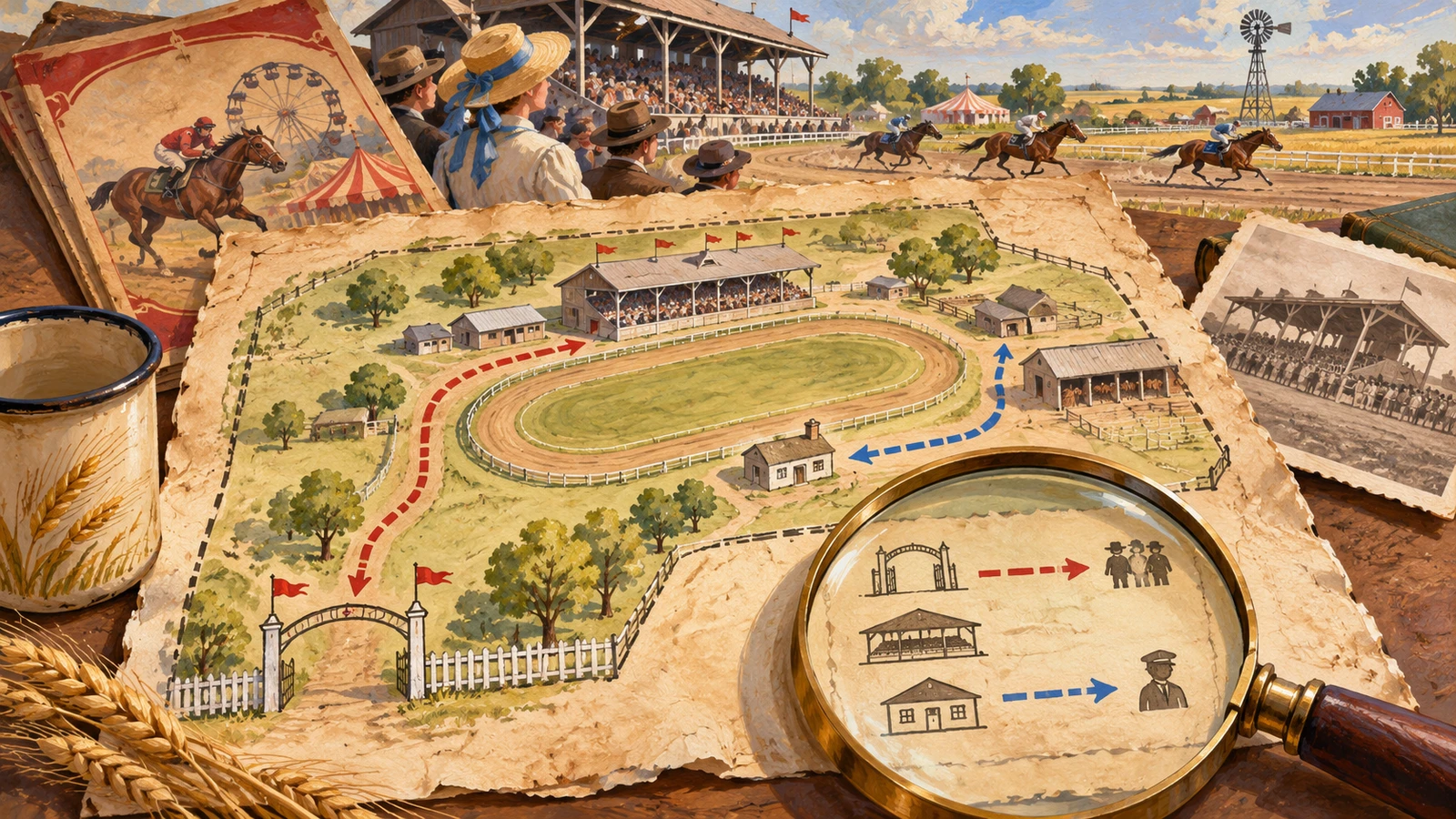
The map puts the grandstand close to the main street. An arrow points to a gate near the stable area. Before drawing a visitor route through it, read the legend. The arrow might show how participants reached a restricted area instead of the public entrance.
Read the key before following the lines
In the invented map, spectators use the main gate and a path toward the grandstand. A second way from the service lane leads toward the track office. The key marks it for staff in this edition.
Look for the scale, arrow or place names that orient the document. If no scale is printed, describe the order of places without giving a measured walking distance. Find the outer boundary so the gate can be placed in relation to the surrounding grounds.
Compare the map against a contemporary programme that names the public access point. An older layout can leave useful clues about the fair, even when the grandstand or roads have since changed.
If the article is for people visiting a site today, name the date of the historical map and direct readers to current access information for any trip they actually plan.
| Place | Who the old map routes there | What to verify today |
|---|---|---|
| Main gate | Public visitors | Current access, if any |
| Grandstand path | Spectators | Surface and entrances may have changed |
| Service lane | Track staff | Use only as historical context |
Add a date to every route you describe
- Orient the map
- Read the key and boundary.
- Identify the public gate in the relevant edition.
- Keep history and current access distinct
- Describe the old route with its date.
- Check modern directions separately for a current visit.
Questions and answers
- Can I estimate the walk from the drawing?
- Use a printed scale if present. Otherwise describe where the route goes without claiming a distance.
- What if the same building has a modern name?
- Record the old label and establish the match using a suitable current source.
- Does every drawn gate admit visitors?
- Read the map’s labels for public, staff or participant use. Confirm current access independently.